Two decades ago, a simple driving experiment led to a groundbreaking innovation in navigation technology. Larry Page, the co-founder of Google, embarked on a journey that would transform how we perceive geographic data. With a camcorder in hand, he set out to collect real-time imagery of streets, laying the foundation for what would evolve into Google Street View. This initiative has grown into a pivotal element of Google Maps, which is now synonymous with digital navigation for millions worldwide.
Fast forward to 2022, and Google introduced a cutting-edge Street View camera system designed for utmost flexibility. Unlike previous models that were permanently affixed to specific vehicles, this new camera can be easily integrated into any car. Maria Biggs, a technical program manager at Google, shared insights during a recent demonstration near the company’s Silicon Valley headquarters. The versatility of the latest camera technology allows for significant improvements in data collection, enabling Google to revisit locations and refresh the information after years of stagnation.
As Google Maps approaches its 20th anniversary, the advancements in camera technology and data collection methods position the platform to maintain its status as a pioneering service. Biggs mentioned the ambitious plans to utilize these new camera systems for mapping assignments across several nations, including Bosnia and Herzegovina, Namibia, and Liechtenstein. With an existing user base of over 2 billion individuals, Google is committed to ensuring their maps remain comprehensive and up-to-date.
The collaborative nature of Google Maps also warrants attention. Beyond Street View, Google harnesses satellite imagery, aerial photography, and input from more than a thousand third-party sources such as local governments and individual users. This vast reservoir of information equips Google Maps to provide services across more than 250 countries, ensuring accurate and timely navigation for its users.
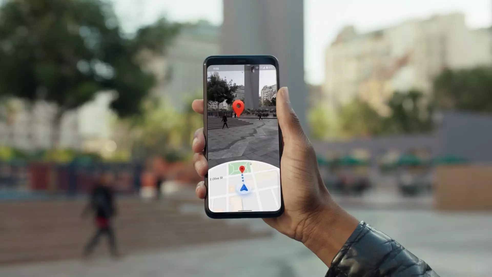
Recent innovations have also incorporated generative artificial intelligence, exemplified by the introduction of Gemini, a chatbot that supports enhanced functionalities within Google Maps. Artificial intelligence now assists users in locating venues that meet specific criteria, such as dog-friendly restaurants or sports bars with outdoor seating. Additionally, Gemini processes vast amounts of information to provide users with real-time notifications regarding road conditions and updates on public transit schedules.
Gemini’s integration extends to another popular navigation tool, Waze, which Google acquired in 2013. This synergy allows for seamless communication of real-time hazards to drivers utilizing both platforms. Chris Phillips, the vice president of Google Geo, emphasized the goal of maintaining safety on the roads through the conscientious sharing of information about traffic patterns and historical incidents. The dynamic response system can help alleviate traffic woes, although the increased traffic in smaller neighborhoods due to alternate route suggestions raises valid concerns.
While advancements in navigation technology have improved user experience, they have also raised questions regarding privacy. James Hodgson, an analyst from ABI Research, highlighted the “perception barrier” Google faces regarding data protection. Google has taken measures to safeguard user identities by blurring identifiable features in Street View images, allowing users to request further blurring in sensitive areas.
Moreover, recent changes to how Google manages location history signify a commitment to user privacy. By storing location data directly on devices instead of in the cloud, Google has made it increasingly difficult for outside entities to access sensitive information. The approach reflects a growing awareness of the importance of privacy in the digital age, which is crucial for retaining user trust.
The Business Model Behind Google Maps
Despite its fundamental role in the lives of billions, the financial underpinnings of Google Maps remain somewhat opaque. Parent company Alphabet provides limited public insights into the revenue generated from the platform, often grouping it with revenues from other services. However, third-party estimates from sources such as Morgan Stanley suggest a substantial increase in revenue, projecting a jump from approximately $2.95 billion in 2019 to an estimated $11 billion by 2023, largely driven by advertising.
Google’s strategy capitalizes on its extensive data collection capabilities, allowing businesses to advertise their services and gain visibility within the app. Additionally, Google provides a mapping interface for external companies, including data on solar panel viability. Such partnerships showcase the multifaceted revenue streams available to Google through its innovative mapping technology.
As autonomous vehicles gain traction and robotaxi services proliferate, the demand for accurate mapping will only increase. Alphabet’s Waymo is already spearheading efforts in the U.S. robotaxi market, illustrating the potential of Google Maps in facilitating the future of transportation. By utilizing a fleet of robotaxis to contribute to map accuracy, Waymo aims to create a self-sustaining ecosystem wherein the technology benefits from the geographical insights it generates.
Google Maps exemplifies the potent convergence of technology, data analytics, and artificial intelligence. By constantly evolving to meet user needs and addressing privacy concerns, Google is not just shaping how we navigate our surroundings but also redefining the very fabric of modern cartography. As we look ahead, it is clear that the future of navigation holds vast possibilities, with Google at the forefront of this transformation.