
Key Takeaways
- Glacial lake outburst floods threaten thousands of vulnerable mountain communities across the Himalayan range.
- Rapid atmospheric warming accelerates ice melt, destabilizing massive hanging glaciers at high altitudes.
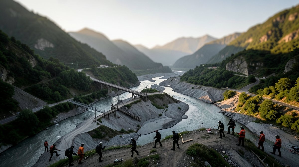
- Emergency response teams face severe logistical hurdles due to washed-out roads and damaged bridges.
Why did the Himalayan glacier collapse so suddenly?
Rising atmospheric temperatures over the past decade have destabilized high-altitude ice structures, creating internal meltwater channels that eventually compromise structural integrity. When these hidden pockets of water expand rapidly, the sheer weight of the overlying ice overcomes basal friction.
That structural failure causes millions of tons of debris and ice to shear off the mountain face within seconds, transforming into a high-energy debris flow as it plunges down steep river valleys.
Scientific monitoring networks recorded anomalous summer heatwaves across the region, with local temperatures climbing 2.4 degrees Celsius above the historical average. This thermal anomaly accelerated subsurface melting, directly triggering the catastrophic failure we observed on the border. Mountain geologists warn that similar hanging glaciers across the range exhibit identical stress fractures.
Watch for: Sudden muddy discoloration in mountain rivers, which often signals an upstream debris release.
What are the immediate human and infrastructural tolls?
Initial disaster assessments confirm that hundreds of residents lost their lives when roaring wall-of-water surges swept through remote valley settlements during the night. The violent torrent destroyed 14 reinforced concrete bridges, severed 45 kilometers of vital arterial roadways, and buried dozens of agricultural terraces under thick layers of grey silt and boulders. Power transmission towers collapsed, plunging three districts into total darkness and halting local communication networks.
Rescue operations involve 1,200 specialized personnel equipped with thermal drones and heavy excavation machinery deployed by regional emergency authorities. Helicopters completed 38 emergency sorties on the first day alone, evacuating 85 critically injured villagers to provincial medical centers. Medical teams report treating numerous cases of hypothermia and trauma resulting from sudden exposure to glacial runoff.
The move: Register your family on official emergency tracking portals if you reside within 5 kilometers of major Himalayan river basins.
How do scientists monitor these dangerous glacial lakes?
Researchers utilize high-resolution synthetic aperture radar satellites to measure millimeter-scale surface displacement on hanging glaciers before failure occurs. Ground-based acoustic sensors installed along riverbanks detect low-frequency vibrations caused by moving debris masses, transmitting automated evacuation alerts to downstream villages within 90 seconds. This technological setup buys critical evacuation time, though remote terrain often limits sensor deployment.
Hydrological institutes analyze satellite imagery weekly to map the expansion rate of supraglacial ponds pooling behind loose moraine dams. When a pond volume exceeds 500,000 cubic meters, engineers evaluate artificial drainage projects to siphon off excess water safely. However, funding constraints and treacherous weather limit the implementation of these preventative drainage measures.
Do this: Download offline emergency mapping applications that function without cellular network connectivity.
What broader climate factors drive these regional disasters?
Accelerated greenhouse gas emissions trap atmospheric heat, driving the rapid retreat of Himalayan glaciers at rates exceeding 30 meters per year in certain sectors. As these massive ice formations shrink, they leave behind unstable rock debris and precarious moraine walls that easily fail during intense monsoon rainfall events. The combination of shifting precipitation patterns and glacial melt creates compounding environmental hazards for downstream nations.
International climate panels note that South Asian mountain ecosystems warm at roughly double the global average rate, amplifying cryospheric risks significantly. Without aggressive global emission reductions, hydrologists project a 40 percent increase in high-altitude outburst events over the coming decades. Communities must adapt by relocating vulnerable infrastructure away from active alluvial fans.
The move: Support local watershed management initiatives that reinforce riverbanks against sudden surge events.
FAQ
What causes a glacial lake outburst flood?
These floods happen when the natural earthen dam holding back a high-altitude glacial lake suddenly ruptures under the pressure of melting ice and heavy rainfall. The resulting wall of water and debris rushes down mountain slopes with devastating force.
How many people were affected by this disaster?
Hundreds of fatalities have been officially confirmed by local authorities, alongside extensive damage to homes, bridges, and agricultural lands across the mountainous border region between Nepal and Tibet.
Can scientists predict these floods in advance?
Researchers monitor satellite imagery and install automated seismic sensors to detect precursor tremors and lake expansion. While these tools provide early warnings, the remote terrain makes comprehensive coverage extremely challenging.
What is being done to help survivors?
Emergency response teams are utilizing helicopters and heavy machinery to clear blocked roads, deliver medical supplies, and evacuate stranded villagers to safe zones in nearby provincial towns.